-
1
Entebbe to Kasese — Gateway to the Mountains
Depart Entebbe in a 4×4 vehicle for the approximately five-to-six-hour drive west along the Kampala–Kasese highway, passing through the rolling tea estates of Fort Portal and the first dramatic views of the Rwenzori foothills emerging from the clouds. Arrive in Kasese town in the afternoon for a pre-trek briefing, equipment check, and distribution of glacier gear. The evening is a good opportunity to repack your mountain bag, test layering systems, and rest well before the trail begins tomorrow.
🏨 Sandstorm Hotel Kasese / Rwenzori International Hotel
🍽 D
-
2
Nyakalengija Trailhead to Sine Hut
A short transfer from Kasese brings you to the Nyakalengija trailhead (1,646 m) where UWA rangers register your group and porters load up. The first day's trek climbs steeply through lush montane forest alive with birdsong — watch for Rwenzori turacos flashing crimson wings overhead. After roughly 5–6 hours of hiking through bamboo and Mimulopsis thickets, you reach Sine Hut (2,596 m), a solid shelter above the forest line with views back down to the Kasese plains.
🏨 Sine Hut
🍽 L, D
-
3
Sine Hut to Nyabitaba Hut via Kachope Valley
Today's route descends briefly into the Kachope Valley before a sustained climb through the Hagenia–Hypericum forest zone, where massive trees are festooned with old-man's-beard lichen and the air carries the cool, damp scent of the upper Rwenzoris. The trail crosses the Mubuku River on a wooden footbridge and climbs steadily to Nyabitaba Hut (2,652 m), one of the most photogenic campsites on the circuit with views toward the central peaks on a clear afternoon. Approximately 6–7 hours of hiking with moderate terrain and multiple stream crossings.
🏨 Nyabitaba Hut
🍽 B, L, D
-
4
Nyabitaba to John Matte Hut — Into the Giant Groundsels
This is one of the most botanically spectacular days on the entire circuit: the trail climbs from the Hagenia woodland into the open Afro-alpine zone where giant Senecio groundsels and enormous lobelias stand like sentinels on the moorland. Expect bog crossings on wooden boardwalks, rock scrambles, and your first views of the Elena Glacier glinting above. John Matte Hut (3,414 m) sits in a sheltered valley beside the upper Mubuku River — a 6-hour day at altitude. The cook prepares a hot three-course dinner as the temperature drops sharply after dark.
🏨 John Matte Hut
🍽 B, L, D
-
5
John Matte to Bujuku Hut — Heart of the Central Circuit
A shorter but demanding day crossing the legendary Bigo Bog — a vast high-altitude wetland at around 3,400 m where the boardwalk threads between pools of dark water reflecting the peaks above. The route then climbs to Bujuku Lake (3,977 m), a glacial tarn whose still surface mirrors Mount Stanley and Mount Baker in good weather, before the final ascent to Bujuku Hut. Arriving at 3,900 m you will feel the altitude; rest, hydrate generously, and absorb the extraordinary view of Margherita and Alexandra peaks looming directly above camp.
🏨 Bujuku Hut
🍽 B, L, D
-
6
Acclimatisation Day at Bujuku — Elena Hut Carry
Altitude acclimatisation is non-negotiable at this elevation, and today follows the mountain principle of 'climb high, sleep low.' The group ascends to Elena Hut (4,541 m) on the lateral moraine of the Elena Glacier, dropping packs and taking in the surreal glaciated landscape before returning to sleep at Bujuku Hut. Your guide uses this carry day to give a thorough glacier-travel and crampon lesson on the lower ice, ensuring every trekker is confident with ice-axe arrest technique before summit day.
🏨 Bujuku Hut
🍽 B, L, D
-
7
Summit Day — Margherita Peak (5,109 m)
A pre-dawn start from Bujuku Hut (typically 03:00–04:00) allows the group to ascend to Elena Hut in the dark and hit the Elena Glacier at first light when the ice is firmest. Roped up with crampons and ice axes, the team crosses the glacier, negotiates the rocky Stanley Plateau, and makes the final push to Margherita Peak — the apex of the Rwenzoris and third-highest point in Africa. On a clear summit morning the views extend across the entire Albertine Rift. After careful celebrations and photographs, the team descends back to Elena Hut and then continues all the way down to Kitandara Hut (4,027 m) for the night — a long, rewarding 10–12-hour day.
🏨 Kitandara Hut
🍽 B, L, D
-
8
Kitandara to Guy Yeoman Hut — The Southern Descent
The route now curves south along the less-travelled southern arm of the Central Circuit, passing the twin Kitandara Lakes whose waters reflect the jagged Rwenzori ridgeline. The trail descends through rockfall terrain and re-enters the giant-lobelia zone before dropping steeply to Guy Yeoman Hut (3,261 m). Legs are tired from summit day but the scenery — open heath, cascading waterfalls, and the first hints of lower forest returning — provides constant reward. Approximately 6 hours of trekking on rocky but well-marked trail.
🏨 Guy Yeoman Hut
🍽 B, L, D
-
9
Descent to Nyakalengija — Transfer to Entebbe
The final morning brings a long descent back through bamboo forest and montane woodland to the Nyakalengija trailhead, where UWA staff stamp your summit certificate and porters receive their gratuities. After celebrations at the trailhead, board the 4×4 for the return drive to Entebbe — arriving in the evening with sore legs, a summit certificate, and memories of the Mountains of the Moon that will last a lifetime.
🍽 B, L




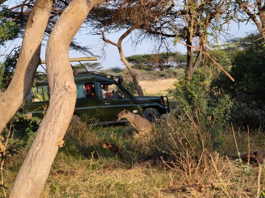
 Kenya
Kenya